Roath Park Lake - drained!
Introduction
The photograph on this page of Roath Park Lake - drained! by Gareth James as part of the Geograph project.
The Geograph project started in 2005 with the aim of publishing, organising and preserving representative images for every square kilometre of Great Britain, Ireland and the Isle of Man.

There are currently over 7.5m images from over 14,400 individuals and you can help contribute to the project by visiting https://www.geograph.org.uk
Roath Park Lake - drained!
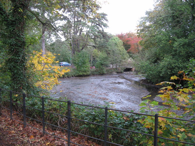
Image: © Gareth James Taken: 23 Oct 2009
The level of Roath Park Lake has been temporarily lowered to allow vegetation clearance around the edge and removal of rubbish. This is the exposed lake bed at the northern end.
Images are licensed for reuse under creativecommons.org/licenses/by-sa/2.0
Image Location
Latitude
51.513562
Longitude
-3.176005