Hertford: Mead Lane
Introduction
The photograph on this page of Hertford: Mead Lane by Nigel Cox as part of the Geograph project.
The Geograph project started in 2005 with the aim of publishing, organising and preserving representative images for every square kilometre of Great Britain, Ireland and the Isle of Man.

There are currently over 7.5m images from over 14,400 individuals and you can help contribute to the project by visiting https://www.geograph.org.uk
Hertford: Mead Lane
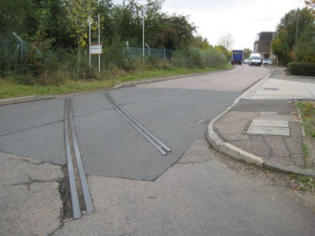
Image: © Nigel Cox Taken: 14 Oct 2009
The short section of railway track across the road is a remnant of a siding that used to run from the railway at Hertford East station to near the gasworks and to near Hertford Lock on the River Lee Navigation.
Images are licensed for reuse under creativecommons.org/licenses/by-sa/2.0
Image Location
Latitude
51.800896
Longitude
-0.0659