Parsons House
Introduction
The photograph on this page of Parsons House by Danny P Robinson as part of the Geograph project.
The Geograph project started in 2005 with the aim of publishing, organising and preserving representative images for every square kilometre of Great Britain, Ireland and the Isle of Man.

There are currently over 7.5m images from over 14,400 individuals and you can help contribute to the project by visiting https://www.geograph.org.uk
Parsons House
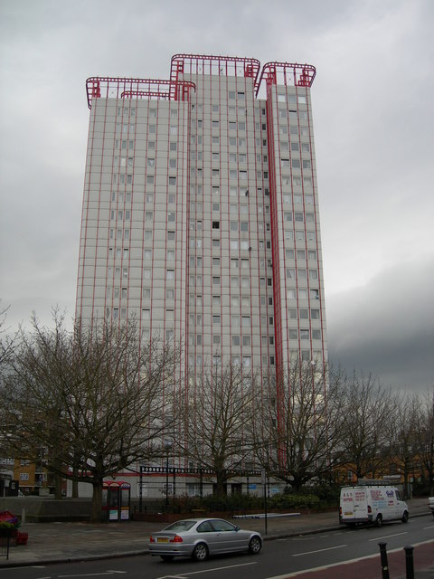
Image: © Danny P Robinson Taken: 9 Apr 2006
This block of flats is on the west side of Edgware Road. Click the link for more photos and details. http://www.emporis.com/en/wm/bu/?id=136020
Images are licensed for reuse under creativecommons.org/licenses/by-sa/2.0
Image Location
Latitude
51.522736
Longitude
-0.176597