Milverton Crescent
Introduction
The photograph on this page of Milverton Crescent by Robin Stott as part of the Geograph project.
The Geograph project started in 2005 with the aim of publishing, organising and preserving representative images for every square kilometre of Great Britain, Ireland and the Isle of Man.

There are currently over 7.5m images from over 14,400 individuals and you can help contribute to the project by visiting https://www.geograph.org.uk
Milverton Crescent
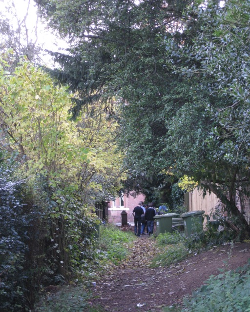
Image: © Robin Stott Taken: 23 Oct 2009
Now a rather tucked-away and encroached-on footpath between Rugby Road and Beauchamp Hill, it was the drive to a terrace in Regency times.
Images are licensed for reuse under creativecommons.org/licenses/by-sa/2.0
Image Location


Leaflet Map data © OpenStreetMap
Latitude
52.293051
Longitude
-1.543965