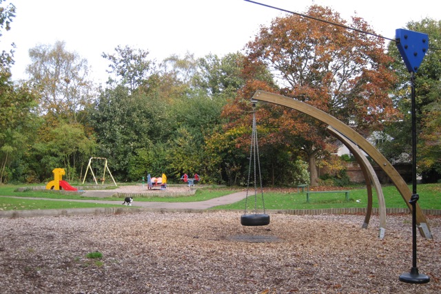
Stamford Gardens play area
Introduction
The photograph on this page of Stamford Gardens play area by Robin Stott as part of the Geograph project.
The Geograph project started in 2005 with the aim of publishing, organising and preserving representative images for every square kilometre of Great Britain, Ireland and the Isle of Man.
There are currently over 7.5m images from over 14,400 individuals and you can help contribute to the project by visiting https://www.geograph.org.uk

Image: © Robin Stott Taken: 23 Oct 2009
A small greenspace at the foot of Stamford Gardens flats Image has something for all ages and different numbers of legs. The well-used footpath through it is a handy shortcut between Clarendon Crescent and Rugby Road. In the 19th century a watercourse, the Milverton Brook or Binsbrook was culverted through here. Around 1970 the site was threatened by proposals for a dual carriageway. Around 1990 a huge underground holding tank for storm water was constructed under the adjoining garden.

