Approaching Hittisleigh
Introduction
The photograph on this page of Approaching Hittisleigh by Derek Harper as part of the Geograph project.
The Geograph project started in 2005 with the aim of publishing, organising and preserving representative images for every square kilometre of Great Britain, Ireland and the Isle of Man.

There are currently over 7.5m images from over 14,400 individuals and you can help contribute to the project by visiting https://www.geograph.org.uk
Approaching Hittisleigh
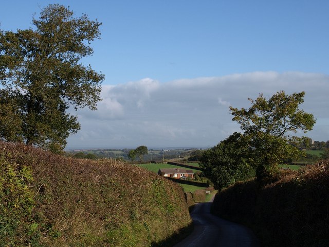
Image: © Derek Harper Taken: 17 Oct 2009
The lane from Whiddon Down makes a sharp descent on the ridge it has been following. The bungalow is on a farm lane to Midlake. Just visible on the right is Image
Images are licensed for reuse under creativecommons.org/licenses/by-sa/2.0
Image Location
Latitude
50.739217
Longitude
-3.802902