Wheatsheaf, Burton Joyce
Introduction
The photograph on this page of Wheatsheaf, Burton Joyce by Alan Murray-Rust as part of the Geograph project.
The Geograph project started in 2005 with the aim of publishing, organising and preserving representative images for every square kilometre of Great Britain, Ireland and the Isle of Man.

There are currently over 7.5m images from over 14,400 individuals and you can help contribute to the project by visiting https://www.geograph.org.uk
Wheatsheaf, Burton Joyce
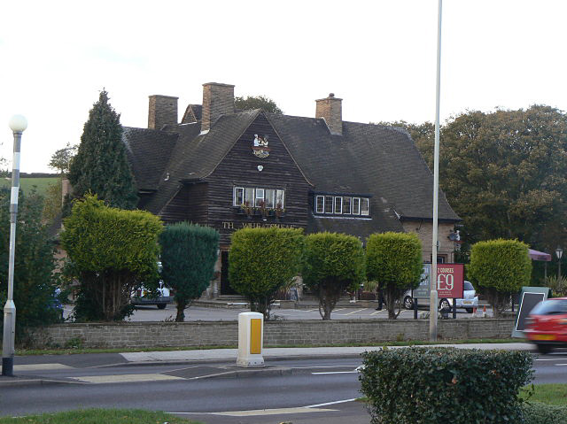
Image: © Alan Murray-Rust Taken: 16 Oct 2009
1930s roadside pub, presumably built when Church Road was driven through the village in the 1930s.
Images are licensed for reuse under creativecommons.org/licenses/by-sa/2.0
Image Location
Latitude
52.988509
Longitude
-1.034062