Pensilva road junction
Introduction
The photograph on this page of Pensilva road junction by roger geach as part of the Geograph project.
The Geograph project started in 2005 with the aim of publishing, organising and preserving representative images for every square kilometre of Great Britain, Ireland and the Isle of Man.

There are currently over 7.5m images from over 14,400 individuals and you can help contribute to the project by visiting https://www.geograph.org.uk
Pensilva road junction
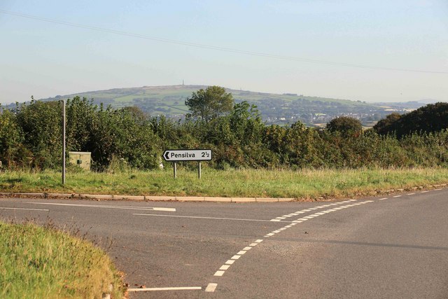
Image: © roger geach Taken: 8 Oct 2009
In the distance can be seen Kit Hill which offers a great view from that point on a clear day.
Images are licensed for reuse under creativecommons.org/licenses/by-sa/2.0
Image Location


Leaflet Map data © OpenStreetMap
Latitude
50.486974
Longitude
-4.372556