Track leading to Blackdowns
Introduction
The photograph on this page of Track leading to Blackdowns by Michael Dibb as part of the Geograph project.
The Geograph project started in 2005 with the aim of publishing, organising and preserving representative images for every square kilometre of Great Britain, Ireland and the Isle of Man.

There are currently over 7.5m images from over 14,400 individuals and you can help contribute to the project by visiting https://www.geograph.org.uk
Track leading to Blackdowns
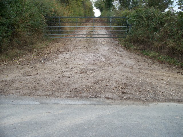
Image: © Michael Dibb Taken: 21 Oct 2009
A track to the right from the minor road from Charingworth to Stretton-on-Fosse, leads to Blackdowns. The track runs along a ridge and there are some lovely and far-reaching views.
Images are licensed for reuse under creativecommons.org/licenses/by-sa/2.0
Image Location
Latitude
52.046028
Longitude
-1.694335