2009 : Roundabout at the end of Cheltenham Road
Introduction
The photograph on this page of 2009 : Roundabout at the end of Cheltenham Road by Maurice Pullin as part of the Geograph project.
The Geograph project started in 2005 with the aim of publishing, organising and preserving representative images for every square kilometre of Great Britain, Ireland and the Isle of Man.

There are currently over 7.5m images from over 14,400 individuals and you can help contribute to the project by visiting https://www.geograph.org.uk
2009 : Roundabout at the end of Cheltenham Road
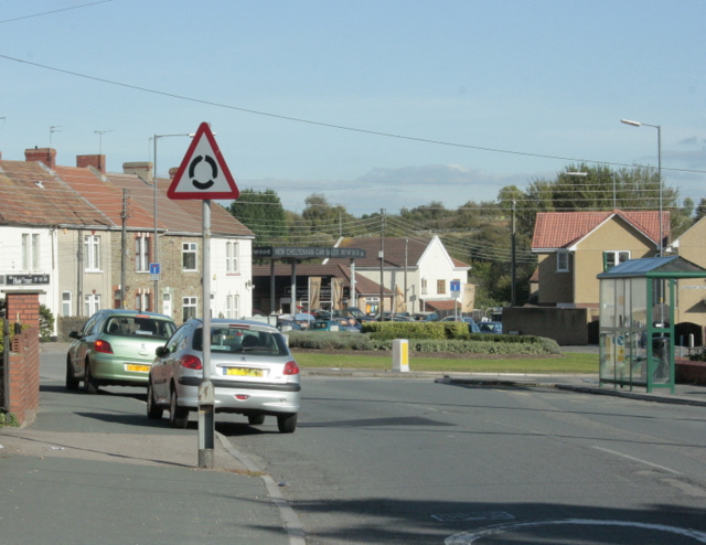
Image: © Maurice Pullin Taken: 12 Oct 2009
The eastern end, that is. New Cheltenham gives way to Siston Common on the other side of the roundabout as Cheltenham Road becomes Fisher Road. Anchor Road is to the left and Tenniscourt Road to the right. Both of these roads were named after public houses (or vice versa).
Images are licensed for reuse under creativecommons.org/licenses/by-sa/2.0
Image Location
Latitude
51.467727
Longitude
-2.48884