Cherry Tree Farm, Chartridge
Introduction
The photograph on this page of Cherry Tree Farm, Chartridge by Rob Farrow as part of the Geograph project.
The Geograph project started in 2005 with the aim of publishing, organising and preserving representative images for every square kilometre of Great Britain, Ireland and the Isle of Man.

There are currently over 7.5m images from over 14,400 individuals and you can help contribute to the project by visiting https://www.geograph.org.uk
Cherry Tree Farm, Chartridge
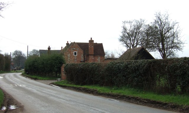
Image: © Rob Farrow Taken: 19 Apr 2006
This farm is opposite another farm (Chartridge End Farm) that mark the beginning of the village of Chartridge coming from a NW direction (travelling SE). (I was a few yards OoS when I took this shot as the farm is almost on the 920 gridline.)
Images are licensed for reuse under creativecommons.org/licenses/by-sa/2.0
Image Location
Latitude
51.732573
Longitude
-0.669215