Arrewig Farm, Arrewig Lane
Introduction
The photograph on this page of Arrewig Farm, Arrewig Lane by Rob Farrow as part of the Geograph project.
The Geograph project started in 2005 with the aim of publishing, organising and preserving representative images for every square kilometre of Great Britain, Ireland and the Isle of Man.

There are currently over 7.5m images from over 14,400 individuals and you can help contribute to the project by visiting https://www.geograph.org.uk
Arrewig Farm, Arrewig Lane
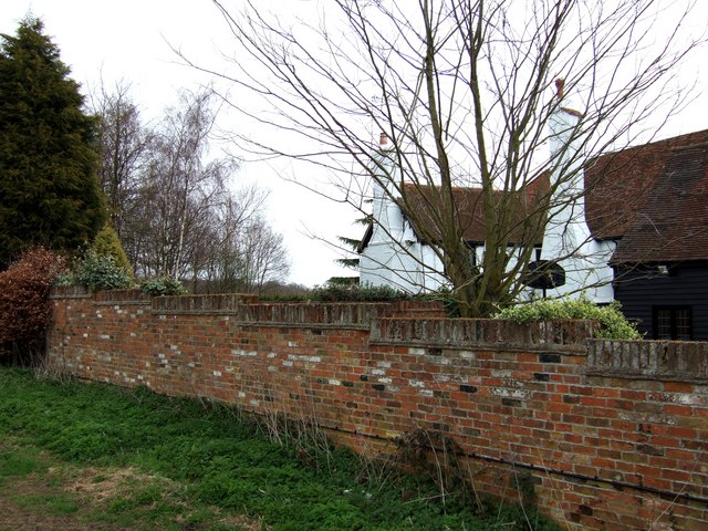
Image: © Rob Farrow Taken: 19 Apr 2006
... or Errewig Farm if you believe the current OS:25000 map - and according to the 1940s map it was called Brown's Farm. This looks to be a fine old building, unfortunately this is about the best view you can get of it without invading their privacy. This was taken from the stile next to the farm.
Images are licensed for reuse under creativecommons.org/licenses/by-sa/2.0
Image Location
Latitude
51.741676
Longitude
-0.679086