Brockworth, milestone
Introduction
The photograph on this page of Brockworth, milestone by Mike Faherty as part of the Geograph project.
The Geograph project started in 2005 with the aim of publishing, organising and preserving representative images for every square kilometre of Great Britain, Ireland and the Isle of Man.

There are currently over 7.5m images from over 14,400 individuals and you can help contribute to the project by visiting https://www.geograph.org.uk
Brockworth, milestone
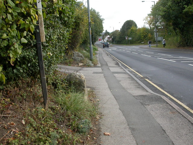
Image: © Mike Faherty Taken: 16 Oct 2009
Milestone on Ermin Street on the old turnpike road to Birdlip; the iron plate is missing, but according to old OS maps, stated 4 miles to Gloucester.
Images are licensed for reuse under creativecommons.org/licenses/by-sa/2.0
Image Location
Latitude
51.845463
Longitude
-2.157889