Handforth, open space
Introduction
The photograph on this page of Handforth, open space by Mike Faherty as part of the Geograph project.
The Geograph project started in 2005 with the aim of publishing, organising and preserving representative images for every square kilometre of Great Britain, Ireland and the Isle of Man.

There are currently over 7.5m images from over 14,400 individuals and you can help contribute to the project by visiting https://www.geograph.org.uk
Handforth, open space
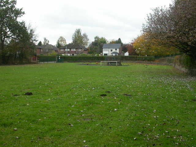
Image: © Mike Faherty Taken: 20 Oct 2009
Open space with a small playground off Courtney Gardens. Despite a "Welcome" sign, the gate was locked; entrance is also from a nearby footpath.
Images are licensed for reuse under creativecommons.org/licenses/by-sa/2.0
Image Location
Latitude
53.343517
Longitude
-2.2185