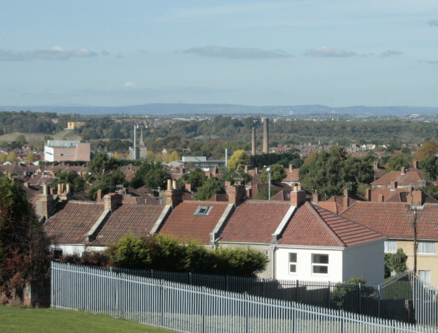
2009 : North west from the top of Lodge Hill
Introduction
The photograph on this page of 2009 : North west from the top of Lodge Hill by Maurice Pullin as part of the Geograph project.
The Geograph project started in 2005 with the aim of publishing, organising and preserving representative images for every square kilometre of Great Britain, Ireland and the Isle of Man.
There are currently over 7.5m images from over 14,400 individuals and you can help contribute to the project by visiting https://www.geograph.org.uk

Image: © Maurice Pullin Taken: 12 Oct 2009
Cossham Hospital is behind the camera position. The fence in the foreground protects an electricity sub-station. Part of the Hillfields Park housing estate, built in the 1920's/30's, is seen followed by factory chimneys in Fishponds. The fine building to the left is the Dower House in the former Duchess Park, now part of Frenchay Hospital I believe. You Bristolians, especially those living locally will be able to pick out more landmarks including the towers of the Severn Road Bridge taking the M48 from Aust to Beachley Image (the M4 crosses about 2 miles further down).

