Footpath at Hobhouse
Introduction
The photograph on this page of Footpath at Hobhouse by Derek Harper as part of the Geograph project.
The Geograph project started in 2005 with the aim of publishing, organising and preserving representative images for every square kilometre of Great Britain, Ireland and the Isle of Man.

There are currently over 7.5m images from over 14,400 individuals and you can help contribute to the project by visiting https://www.geograph.org.uk
Footpath at Hobhouse
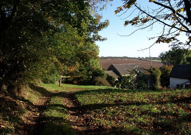
Image: © Derek Harper Taken: 17 Oct 2009
Drewsteignton Footpath 8 reaches the end of the track to Hobhouse. From here, it's a stile onto a field path towards Mill Farm.
Images are licensed for reuse under creativecommons.org/licenses/by-sa/2.0
Image Location
Latitude
50.713988
Longitude
-3.846129