River Lowman
Introduction
The photograph on this page of River Lowman by Derek Harper as part of the Geograph project.
The Geograph project started in 2005 with the aim of publishing, organising and preserving representative images for every square kilometre of Great Britain, Ireland and the Isle of Man.

There are currently over 7.5m images from over 14,400 individuals and you can help contribute to the project by visiting https://www.geograph.org.uk
River Lowman
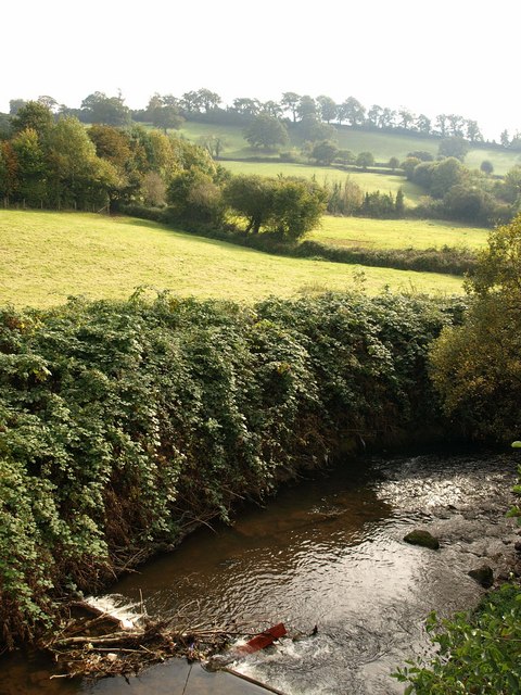
Image: © Derek Harper Taken: 14 Oct 2009
Debris has become stuck on a small weir on the river as it emerges from beneath Great Western Way. The hilltop behind (in Image) was occupied by Cranmore Castle, an Iron Age hillfort.
Images are licensed for reuse under creativecommons.org/licenses/by-sa/2.0
Image Location
Latitude
50.900621
Longitude
-3.485731