The village of Mount
Introduction
The photograph on this page of The village of Mount by Rod Allday as part of the Geograph project.
The Geograph project started in 2005 with the aim of publishing, organising and preserving representative images for every square kilometre of Great Britain, Ireland and the Isle of Man.

There are currently over 7.5m images from over 14,400 individuals and you can help contribute to the project by visiting https://www.geograph.org.uk
The village of Mount
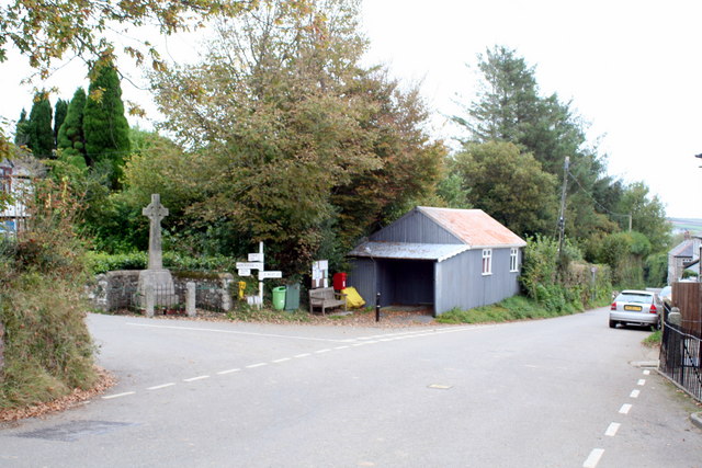
Image: © Rod Allday Taken: 18 Oct 2009
Before the A38 was constructed through the Glynn Valley to the south this was the main route from Bodmin to Liskeard.
Images are licensed for reuse under creativecommons.org/licenses/by-sa/2.0
Image Location
Latitude
50.482551
Longitude
-4.612549