Cottages in Holdenhurst
Introduction
The photograph on this page of Cottages in Holdenhurst by Derek Harper as part of the Geograph project.
The Geograph project started in 2005 with the aim of publishing, organising and preserving representative images for every square kilometre of Great Britain, Ireland and the Isle of Man.

There are currently over 7.5m images from over 14,400 individuals and you can help contribute to the project by visiting https://www.geograph.org.uk
Cottages in Holdenhurst
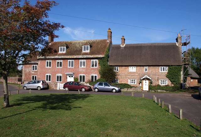
Image: © Derek Harper Taken: 13 Oct 2009
Another view of Image across the village green. No 17, on the right, is described at http://www.imagesofengland.org.uk/details/default.aspx?id=101770 , and the late C17 farmhouse on the left at http://www.imagesofengland.org.uk/Details/Default.aspx?id=101771&mode=adv .
Images are licensed for reuse under creativecommons.org/licenses/by-sa/2.0
Image Location


Leaflet Map data © OpenStreetMap
Latitude
50.757066
Longitude
-1.819618