Western parts of Benfleet: New Thundersley and Tarpots
Introduction
The photograph on this page of Western parts of Benfleet: New Thundersley and Tarpots by Edward Clack as part of the Geograph project.
The Geograph project started in 2005 with the aim of publishing, organising and preserving representative images for every square kilometre of Great Britain, Ireland and the Isle of Man.

There are currently over 7.5m images from over 14,400 individuals and you can help contribute to the project by visiting https://www.geograph.org.uk
Western parts of Benfleet: New Thundersley and Tarpots
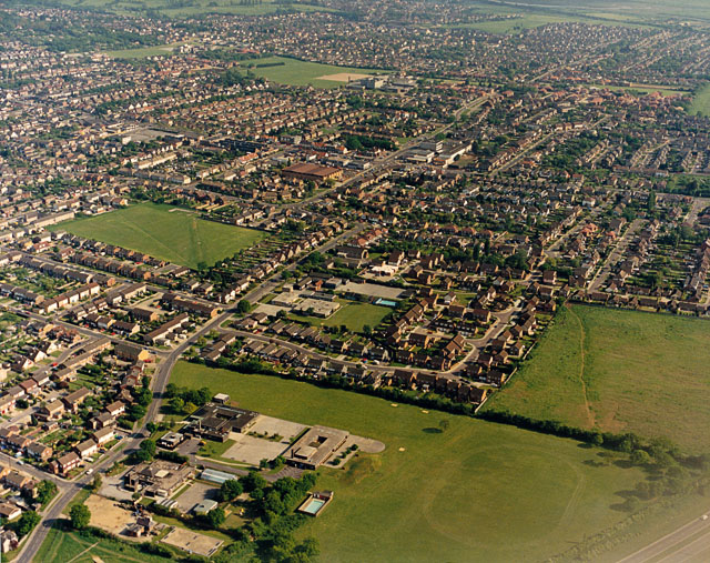
Image: © Edward Clack Taken: 20 May 1987
This wide view shot covers the westernmost parts of New Thundersley. The road running from bottom left towards the centre is Rushbottom Lane. There are two primary schools visible here: Montgomerie, towards the bottom left, and Woodham Lea, almost in the centre.
Images are licensed for reuse under creativecommons.org/licenses/by-sa/2.0
Image Location
Latitude
51.569834
Longitude
0.54855