Gate Mead
Introduction
The photograph on this page of Gate Mead by Simon Carey as part of the Geograph project.
The Geograph project started in 2005 with the aim of publishing, organising and preserving representative images for every square kilometre of Great Britain, Ireland and the Isle of Man.

There are currently over 7.5m images from over 14,400 individuals and you can help contribute to the project by visiting https://www.geograph.org.uk
Gate Mead
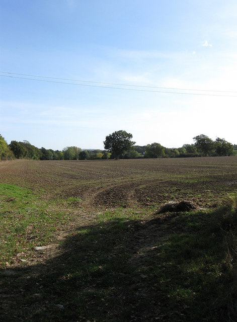
Image: © Simon Carey Taken: 18 Oct 2009
The name of the field according to the 1842 tithe map that has been enlarged to include Bridge Field which is located beyond the oak, the last remnant of a former hedgerow and field boundary, in the distance.
Images are licensed for reuse under creativecommons.org/licenses/by-sa/2.0
Image Location
Latitude
50.927127
Longitude
-0.0426