Grassland, Clackmannan
Introduction
The photograph on this page of Grassland, Clackmannan by Richard Webb as part of the Geograph project.
The Geograph project started in 2005 with the aim of publishing, organising and preserving representative images for every square kilometre of Great Britain, Ireland and the Isle of Man.

There are currently over 7.5m images from over 14,400 individuals and you can help contribute to the project by visiting https://www.geograph.org.uk
Grassland, Clackmannan
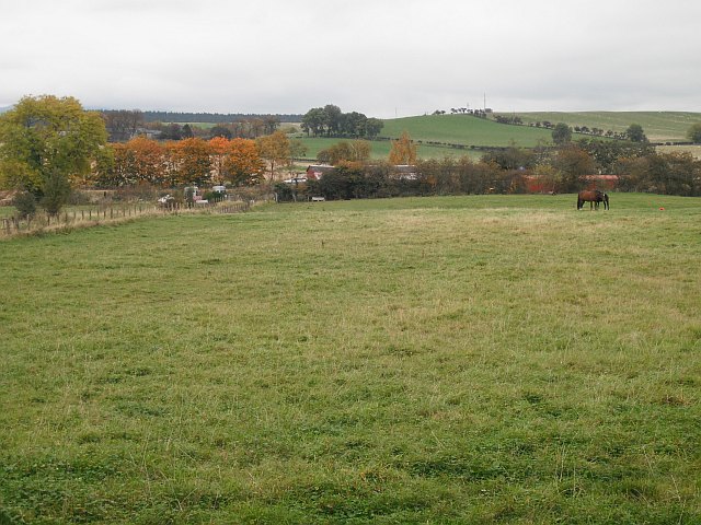
Image: © Richard Webb Taken: 15 Oct 2009
Grazing land between Kennet and Clackmannan and between the old and new Alloa Roads.
Images are licensed for reuse under creativecommons.org/licenses/by-sa/2.0
Image Location
Latitude
56.103348
Longitude
-3.734555