Path to Burley Street
Introduction
The photograph on this page of Path to Burley Street by Derek Harper as part of the Geograph project.
The Geograph project started in 2005 with the aim of publishing, organising and preserving representative images for every square kilometre of Great Britain, Ireland and the Isle of Man.

There are currently over 7.5m images from over 14,400 individuals and you can help contribute to the project by visiting https://www.geograph.org.uk
Path to Burley Street
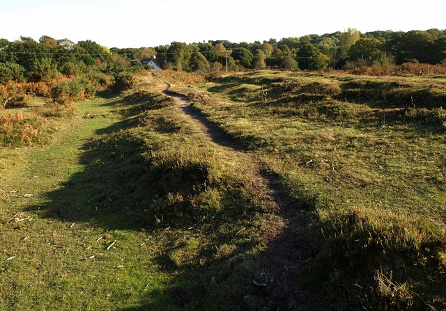
Image: © Derek Harper Taken: 12 Oct 2009
One of several paths crossing a corner of heathland between Burley Croft and Coach Hill Lane. The house is in Image
Images are licensed for reuse under creativecommons.org/licenses/by-sa/2.0
Image Location
Latitude
50.840855
Longitude
-1.71775