Stirling and Dunfermline Railway
Introduction
The photograph on this page of Stirling and Dunfermline Railway by Richard Webb as part of the Geograph project.
The Geograph project started in 2005 with the aim of publishing, organising and preserving representative images for every square kilometre of Great Britain, Ireland and the Isle of Man.

There are currently over 7.5m images from over 14,400 individuals and you can help contribute to the project by visiting https://www.geograph.org.uk
Stirling and Dunfermline Railway
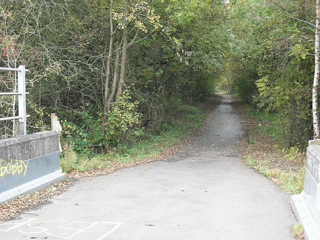
Image: © Richard Webb Taken: 15 Oct 2009
The trackbed seen from the bridge over the A977 near the Castlebridge Business Park (until 2002 a deep coal mine). No photos of the bridge due to the obscene graffiti recently sprayed over it. I have included a wee bit to give the flavour of the place. This line was still shown as a railway on the 1976 Ordnance Survey 1:50,000 map and served collieries in the West Fife coalfield. Passenger services would have been withdrawn a lot earlier. Now it is a cycle/foot path operated by Clackmannanshire Council and Fife Council.
Images are licensed for reuse under creativecommons.org/licenses/by-sa/2.0
Image Location
Latitude
56.110795
Longitude
-3.709641