Parc Terrace at Llangoed
Introduction
The photograph on this page of Parc Terrace at Llangoed by Eric Jones as part of the Geograph project.
The Geograph project started in 2005 with the aim of publishing, organising and preserving representative images for every square kilometre of Great Britain, Ireland and the Isle of Man.

There are currently over 7.5m images from over 14,400 individuals and you can help contribute to the project by visiting https://www.geograph.org.uk
Parc Terrace at Llangoed
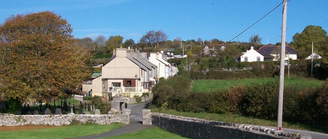
Image: © Eric Jones Taken: 17 Oct 2009
The cemeteries south of the houses are those of St Cawrdaf Church, while those on the other side of the road belong to Capel Ty Rhys Calvinistic Methodist Chapel. Image
Images are licensed for reuse under creativecommons.org/licenses/by-sa/2.0
Image Location
Latitude
53.303842
Longitude
-4.084117