Power line, Cnoc Cruinn an Luig Odhar
Introduction
The photograph on this page of Power line, Cnoc Cruinn an Luig Odhar by Richard Webb as part of the Geograph project.
The Geograph project started in 2005 with the aim of publishing, organising and preserving representative images for every square kilometre of Great Britain, Ireland and the Isle of Man.

There are currently over 7.5m images from over 14,400 individuals and you can help contribute to the project by visiting https://www.geograph.org.uk
Power line, Cnoc Cruinn an Luig Odhar
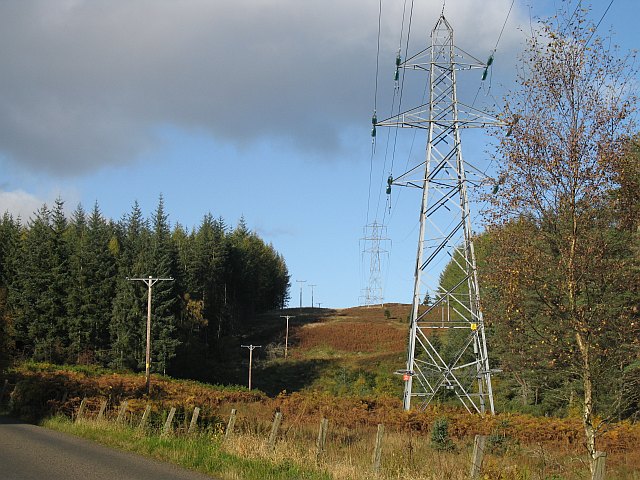
Image: © Richard Webb Taken: 16 Oct 2008
Powerlines linking the hydroelectric schemes of the Highlands with the grid further south.
Images are licensed for reuse under creativecommons.org/licenses/by-sa/2.0
Image Location
Latitude
56.528397
Longitude
-3.764994