Footpath from Fell Road to Highfield Farm Lane
Introduction
The photograph on this page of Footpath from Fell Road to Highfield Farm Lane by Clive Nicholson as part of the Geograph project.
The Geograph project started in 2005 with the aim of publishing, organising and preserving representative images for every square kilometre of Great Britain, Ireland and the Isle of Man.

There are currently over 7.5m images from over 14,400 individuals and you can help contribute to the project by visiting https://www.geograph.org.uk
Footpath from Fell Road to Highfield Farm Lane
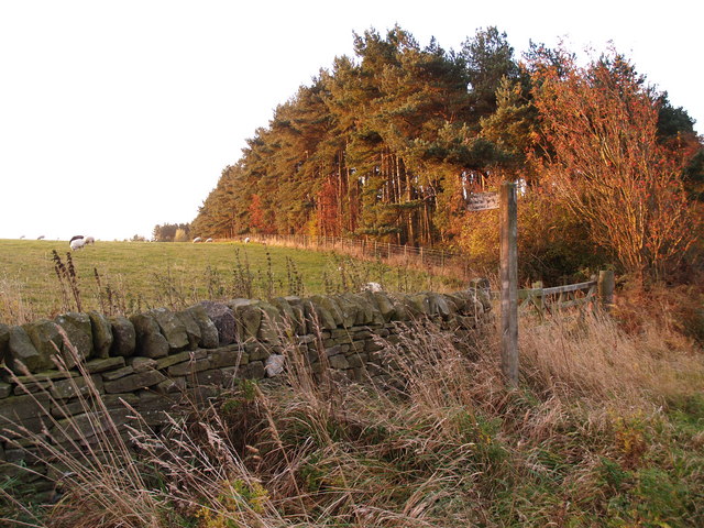
Image: © Clive Nicholson Taken: 18 Oct 2009
For some reason the location of the path does not match the Ordnance Survey map. The OS dotted line marks the location probably before the Open cast mining of the 1970s.
Images are licensed for reuse under creativecommons.org/licenses/by-sa/2.0
Image Location
Latitude
54.900677
Longitude
-1.915763