Entering the Moorland Village of St Cleer
Introduction
The photograph on this page of Entering the Moorland Village of St Cleer by roger geach as part of the Geograph project.
The Geograph project started in 2005 with the aim of publishing, organising and preserving representative images for every square kilometre of Great Britain, Ireland and the Isle of Man.

There are currently over 7.5m images from over 14,400 individuals and you can help contribute to the project by visiting https://www.geograph.org.uk
Entering the Moorland Village of St Cleer
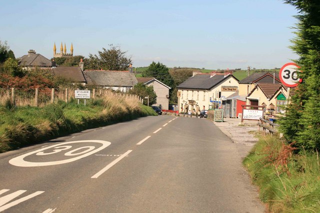
Image: © roger geach Taken: 8 Oct 2009
The pub is straight ahead and is open while the church tower can be seen in the left distance.
Images are licensed for reuse under creativecommons.org/licenses/by-sa/2.0
Image Location
Latitude
50.486111
Longitude
-4.470212