'Loch Ness' of Inverness
Introduction
The photograph on this page of 'Loch Ness' of Inverness by Stanley Howe as part of the Geograph project.
The Geograph project started in 2005 with the aim of publishing, organising and preserving representative images for every square kilometre of Great Britain, Ireland and the Isle of Man.

There are currently over 7.5m images from over 14,400 individuals and you can help contribute to the project by visiting https://www.geograph.org.uk
'Loch Ness' of Inverness
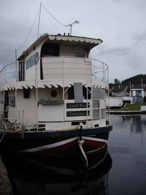
Image: © Stanley Howe Taken: 9 Oct 2009
Moored in Muirtown Basin, near the A862 swing bridge. Once a seafood restaurant, the vessel has been on offer for sale for some months.
Images are licensed for reuse under creativecommons.org/licenses/by-sa/2.0
Image Location
Latitude
57.483387
Longitude
-4.246397