Crossroads, Banchory Devenick
Introduction
The photograph on this page of Crossroads, Banchory Devenick by Lizzie as part of the Geograph project.
The Geograph project started in 2005 with the aim of publishing, organising and preserving representative images for every square kilometre of Great Britain, Ireland and the Isle of Man.

There are currently over 7.5m images from over 14,400 individuals and you can help contribute to the project by visiting https://www.geograph.org.uk
Crossroads, Banchory Devenick
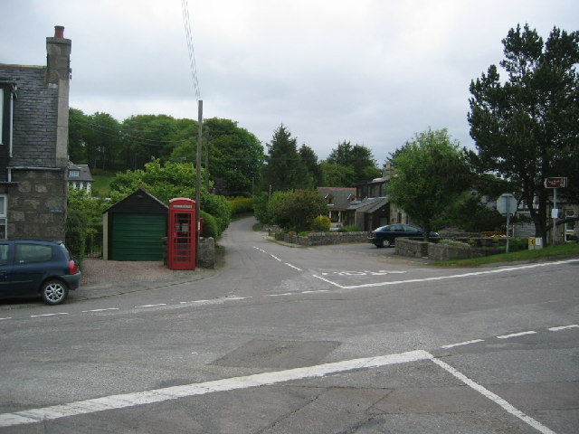
Image: © Lizzie Taken: 5 Jun 2005
On older maps a post office is also shown at this location. There is a mixture of older housing, property with modern extensions and modern property within 200 metres of the crossroads. A popular hamlet close to Aberdeen. One of the proposed routes for the Western peripheral route around Aberdeen runs close to Banchory Devenick and would have devastating effects on the village school and local community.
Images are licensed for reuse under creativecommons.org/licenses/by-sa/2.0
Image Location


Leaflet Map data © OpenStreetMap
Latitude
57.091627
Longitude
-2.145361