The Long Fence beside the footpath through Buckland Hoo wood
Introduction
The photograph on this page of The Long Fence beside the footpath through Buckland Hoo wood by Chris Reynolds as part of the Geograph project.
The Geograph project started in 2005 with the aim of publishing, organising and preserving representative images for every square kilometre of Great Britain, Ireland and the Isle of Man.

There are currently over 7.5m images from over 14,400 individuals and you can help contribute to the project by visiting https://www.geograph.org.uk
The Long Fence beside the footpath through Buckland Hoo wood
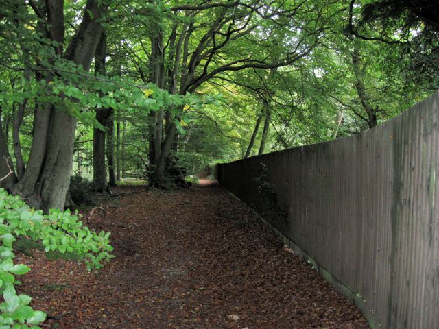
Image: © Chris Reynolds Taken: 17 Oct 2009
A view looking east, at the fence through the wood, along the line of old beech trees. At this point the footpath is designated A 13, so presumably this spot is in the parish of Aston Clinton.
Images are licensed for reuse under creativecommons.org/licenses/by-sa/2.0
Image Location
Latitude
51.782653
Longitude
-0.701085