Pound Lane
Introduction
The photograph on this page of Pound Lane by Kevin Danks as part of the Geograph project.
The Geograph project started in 2005 with the aim of publishing, organising and preserving representative images for every square kilometre of Great Britain, Ireland and the Isle of Man.

There are currently over 7.5m images from over 14,400 individuals and you can help contribute to the project by visiting https://www.geograph.org.uk
Pound Lane
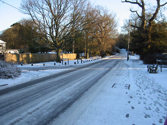
Image: © Kevin Danks Taken: Unknown
Pound Lane, opposite the junction with Copse Road, looking towards Burley. Named after the pound where ponies and cattle were rounded up.
Images are licensed for reuse under creativecommons.org/licenses/by-sa/2.0
Image Location


Leaflet Map data © OpenStreetMap
Latitude
50.823739
Longitude
-1.705217