Taylorstown Point-to-Point Course
Introduction
The photograph on this page of Taylorstown Point-to-Point Course by Dean Molyneaux as part of the Geograph project.
The Geograph project started in 2005 with the aim of publishing, organising and preserving representative images for every square kilometre of Great Britain, Ireland and the Isle of Man.

There are currently over 7.5m images from over 14,400 individuals and you can help contribute to the project by visiting https://www.geograph.org.uk
Taylorstown Point-to-Point Course
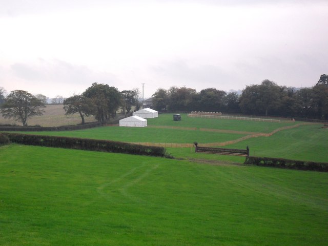
Image: © Dean Molyneaux Taken: 18 Oct 2009
Off the Blackbridge Road in the townland of Killysavan, two miles east of Poyntzpass. The Newry club have set up two marquees in preparation for the Point-to-Point competition on the following Wednesday.
Images are licensed for reuse under creativecommons.org/licenses/by-sa/2.0
Image Location
Latitude
54.286501
Longitude
-6.347748