Limes Park development
Introduction
The photograph on this page of Limes Park development by Mr Ignavy as part of the Geograph project.
The Geograph project started in 2005 with the aim of publishing, organising and preserving representative images for every square kilometre of Great Britain, Ireland and the Isle of Man.

There are currently over 7.5m images from over 14,400 individuals and you can help contribute to the project by visiting https://www.geograph.org.uk
Limes Park development
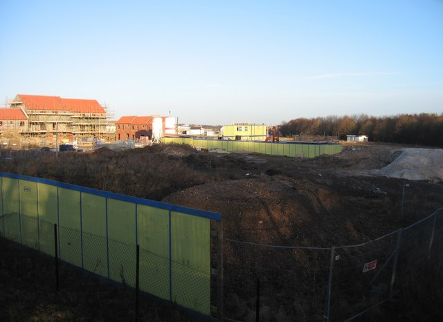
Image: © Mr Ignavy Taken: 24 Jan 2009
The trees in the middle distance are known locally as The Spinney.
Images are licensed for reuse under creativecommons.org/licenses/by-sa/2.0
Image Location
Latitude
51.277052
Longitude
-1.117973