Houses on Bickerley Road
Introduction
The photograph on this page of Houses on Bickerley Road by Derek Harper as part of the Geograph project.
The Geograph project started in 2005 with the aim of publishing, organising and preserving representative images for every square kilometre of Great Britain, Ireland and the Isle of Man.

There are currently over 7.5m images from over 14,400 individuals and you can help contribute to the project by visiting https://www.geograph.org.uk
Houses on Bickerley Road
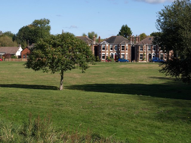
Image: © Derek Harper Taken: 12 Oct 2009
Looking across Bickerley Common from Image; see also Image "Bickerley Common is a historic open space between the town and the mill stream which was used for cricket and football in the 19th century" http://www.newforest.gov.uk/index.cfm?articleid=2176 .
Images are licensed for reuse under creativecommons.org/licenses/by-sa/2.0
Image Location
Latitude
50.843526
Longitude
-1.790595