Church Cottages and Swingey Lane from Church lane.
Introduction
The photograph on this page of Church Cottages and Swingey Lane from Church lane. by Jessica Aidley as part of the Geograph project.
The Geograph project started in 2005 with the aim of publishing, organising and preserving representative images for every square kilometre of Great Britain, Ireland and the Isle of Man.

There are currently over 7.5m images from over 14,400 individuals and you can help contribute to the project by visiting https://www.geograph.org.uk
Church Cottages and Swingey Lane from Church lane.
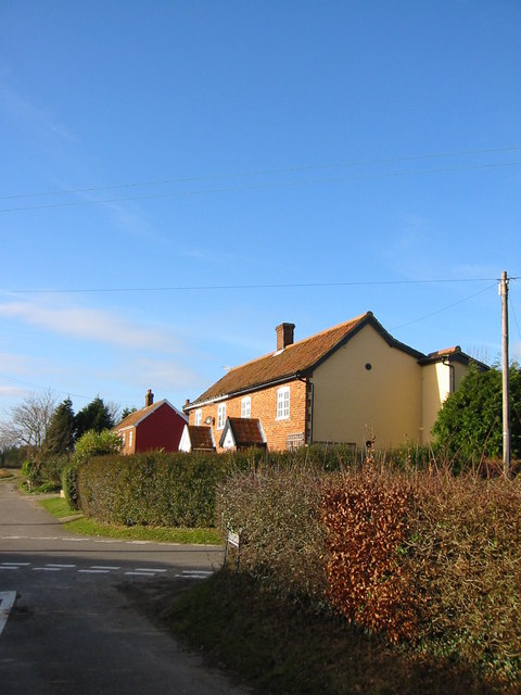
Image: © Jessica Aidley Taken: 15 Dec 2003
Swingey Lane is part of a road visible on very old maps of Morley-St-Botolph
Images are licensed for reuse under creativecommons.org/licenses/by-sa/2.0
Image Location
Latitude
52.558599
Longitude
1.046374