Normanby earthworks
Introduction
The photograph on this page of Normanby earthworks by Kate Nicol as part of the Geograph project.
The Geograph project started in 2005 with the aim of publishing, organising and preserving representative images for every square kilometre of Great Britain, Ireland and the Isle of Man.

There are currently over 7.5m images from over 14,400 individuals and you can help contribute to the project by visiting https://www.geograph.org.uk
Normanby earthworks
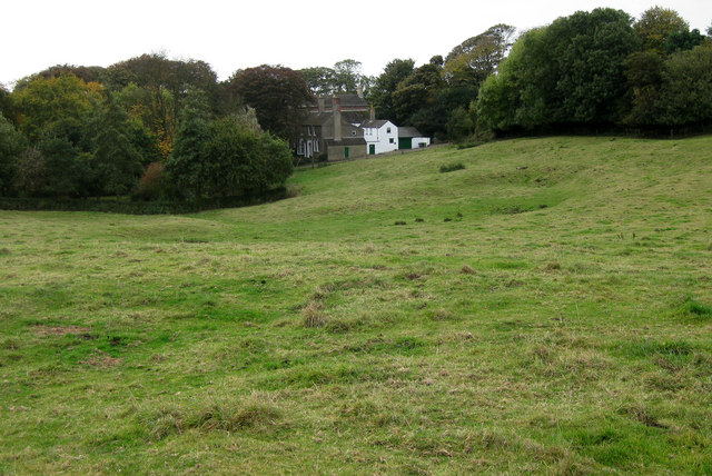
Image: © Kate Nicol Taken: 17 Oct 2009
These earthworks are highly suggestive of being the older village site to the north of the Church and manor. The road to the west and the bridleway to the south and east still form an enclosure within which these earthworks lie.
Images are licensed for reuse under creativecommons.org/licenses/by-sa/2.0
Image Location
Latitude
53.438456
Longitude
-0.309703