Farmland east of Snarrow's Road
Introduction
The photograph on this page of Farmland east of Snarrow's Road by Trevor Rickard as part of the Geograph project.
The Geograph project started in 2005 with the aim of publishing, organising and preserving representative images for every square kilometre of Great Britain, Ireland and the Isle of Man.

There are currently over 7.5m images from over 14,400 individuals and you can help contribute to the project by visiting https://www.geograph.org.uk
Farmland east of Snarrow's Road
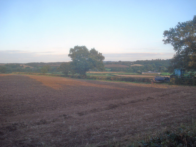
Image: © Trevor Rickard Taken: 29 Aug 2009
Long shadows of the setting sun trace across mixed farmland. Abbey Ford Farm just visible near the tractor on the right.
Images are licensed for reuse under creativecommons.org/licenses/by-sa/2.0
Image Location
Latitude
52.765704
Longitude
-1.360311