West Monkseaton station
Introduction
The photograph on this page of West Monkseaton station by Dr Neil Clifton as part of the Geograph project.
The Geograph project started in 2005 with the aim of publishing, organising and preserving representative images for every square kilometre of Great Britain, Ireland and the Isle of Man.

There are currently over 7.5m images from over 14,400 individuals and you can help contribute to the project by visiting https://www.geograph.org.uk
West Monkseaton station
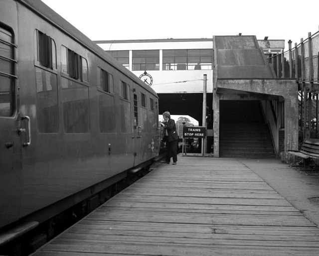
Image: © Dr Neil Clifton Taken: 30 May 1979
At this time, diesel trains operated the service. Later it became part of Metro.
Images are licensed for reuse under creativecommons.org/licenses/by-sa/2.0
Image Location


Leaflet Map data © OpenStreetMap
Latitude
55.040662
Longitude
-1.475914