Bickerley Pocket Park
Introduction
The photograph on this page of Bickerley Pocket Park by Derek Harper as part of the Geograph project.
The Geograph project started in 2005 with the aim of publishing, organising and preserving representative images for every square kilometre of Great Britain, Ireland and the Isle of Man.

There are currently over 7.5m images from over 14,400 individuals and you can help contribute to the project by visiting https://www.geograph.org.uk
Bickerley Pocket Park
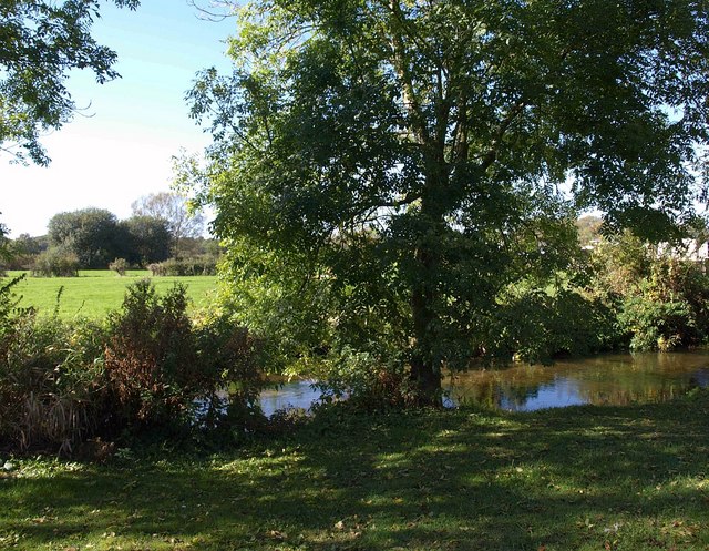
Image: © Derek Harper Taken: 12 Oct 2009
The small area of park is between Bickerley Road and the Bickerley Mill Stream, seen here flowing to the left. On the right, to the north of the water meadows in the Avon valley, can be seen one of park homes at Stubbings Meadow.
Images are licensed for reuse under creativecommons.org/licenses/by-sa/2.0
Image Location
Latitude
50.845244
Longitude
-1.795417