Richmond Methodist Church
Introduction
The photograph on this page of Richmond Methodist Church by David Rogers as part of the Geograph project.
The Geograph project started in 2005 with the aim of publishing, organising and preserving representative images for every square kilometre of Great Britain, Ireland and the Isle of Man.

There are currently over 7.5m images from over 14,400 individuals and you can help contribute to the project by visiting https://www.geograph.org.uk
Richmond Methodist Church
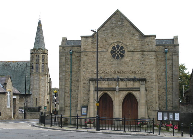
Image: © David Rogers Taken: 14 Oct 2009
Erected more recently than the spired former Congregational Church on Dundas Street which was completed in 1883.
Images are licensed for reuse under creativecommons.org/licenses/by-sa/2.0
Image Location
Latitude
54.404894
Longitude
-1.736231