Pitlessie
Introduction
The photograph on this page of Pitlessie by James Allan as part of the Geograph project.
The Geograph project started in 2005 with the aim of publishing, organising and preserving representative images for every square kilometre of Great Britain, Ireland and the Isle of Man.

There are currently over 7.5m images from over 14,400 individuals and you can help contribute to the project by visiting https://www.geograph.org.uk
Pitlessie
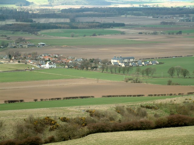
Image: © James Allan Taken: 17 Apr 2006
The village seen from Cults Hill. The former maltings are easy to identify towards the right of the photograph, and the white village inn stands out to the left.
Images are licensed for reuse under creativecommons.org/licenses/by-sa/2.0
Image Location


Leaflet Map data © OpenStreetMap
Latitude
56.27421
Longitude
-3.07384