Main Road Gilwern
Introduction
The photograph on this page of Main Road Gilwern by RAY JONES as part of the Geograph project.
The Geograph project started in 2005 with the aim of publishing, organising and preserving representative images for every square kilometre of Great Britain, Ireland and the Isle of Man.

There are currently over 7.5m images from over 14,400 individuals and you can help contribute to the project by visiting https://www.geograph.org.uk
Main Road Gilwern
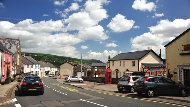
Image: © RAY JONES Taken: 13 Jun 2009
Main Road Gilwern, the High Street of this small village,taken on a sunny Summer day. This used to form part of the main trunk road from Abergavenny to Brynmawr. Prior to the construction of the A465 Heads of the Valley in 1965, this road was very heavily congested. Very similar to http://www.geograph.org.uk/photo/1417325
Images are licensed for reuse under creativecommons.org/licenses/by-sa/2.0
Image Location
Latitude
51.824666
Longitude
-3.092823