East Avenue, Bournemouth
Introduction
The photograph on this page of East Avenue, Bournemouth by Derek Harper as part of the Geograph project.
The Geograph project started in 2005 with the aim of publishing, organising and preserving representative images for every square kilometre of Great Britain, Ireland and the Isle of Man.

There are currently over 7.5m images from over 14,400 individuals and you can help contribute to the project by visiting https://www.geograph.org.uk
East Avenue, Bournemouth
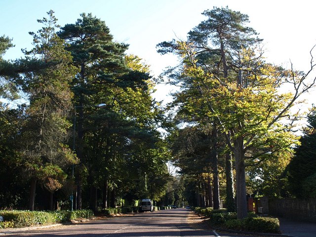
Image: © Derek Harper Taken: 12 Oct 2009
Image seen from the junction shown in Image, running between attractive tall pines and deciduous trees as befits an avenue.
Images are licensed for reuse under creativecommons.org/licenses/by-sa/2.0
Image Location
Latitude
50.73324
Longitude
-1.897501