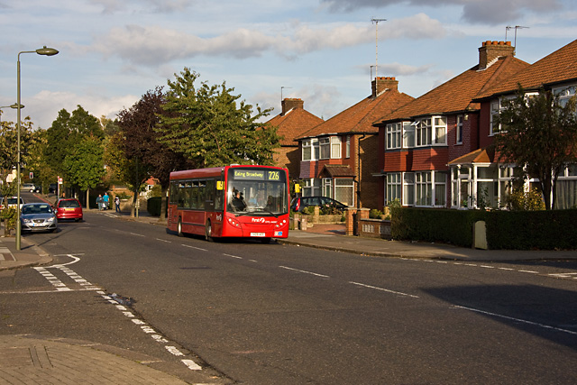
Pennine Drive
Introduction
The photograph on this page of Pennine Drive by Martin Addison as part of the Geograph project.
The Geograph project started in 2005 with the aim of publishing, organising and preserving representative images for every square kilometre of Great Britain, Ireland and the Isle of Man.
There are currently over 7.5m images from over 14,400 individuals and you can help contribute to the project by visiting https://www.geograph.org.uk

Image: © Martin Addison Taken: 10 Oct 2009
Pennine Drive, as befits its name, forms the backbone of this 1930's housing estate around which concentric side roads form an oval pattern. The side roads are all named after ranges of hills and areas adjoining the Pennines. This is the junction with Cleveland Gardens on the left and Cumbrian Gardens on the right. First DML44087 on the 226 route catches the evening sun as it waits for a 102 going in the other direction.

