Bourne valley
Introduction
The photograph on this page of Bourne valley by Derek Harper as part of the Geograph project.
The Geograph project started in 2005 with the aim of publishing, organising and preserving representative images for every square kilometre of Great Britain, Ireland and the Isle of Man.

There are currently over 7.5m images from over 14,400 individuals and you can help contribute to the project by visiting https://www.geograph.org.uk
Bourne valley
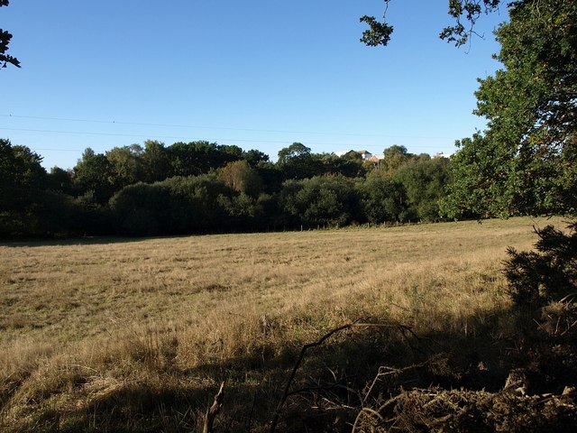
Image: © Derek Harper Taken: 12 Oct 2009
A field surrounded by woodland in the valley, which forms a green strip running through the Poole and Bournemouth suburbs.
Images are licensed for reuse under creativecommons.org/licenses/by-sa/2.0
Image Location
Latitude
50.741704
Longitude
-1.910663