Farmland east of Peggs Green
Introduction
The photograph on this page of Farmland east of Peggs Green by Trevor Rickard as part of the Geograph project.
The Geograph project started in 2005 with the aim of publishing, organising and preserving representative images for every square kilometre of Great Britain, Ireland and the Isle of Man.

There are currently over 7.5m images from over 14,400 individuals and you can help contribute to the project by visiting https://www.geograph.org.uk
Farmland east of Peggs Green
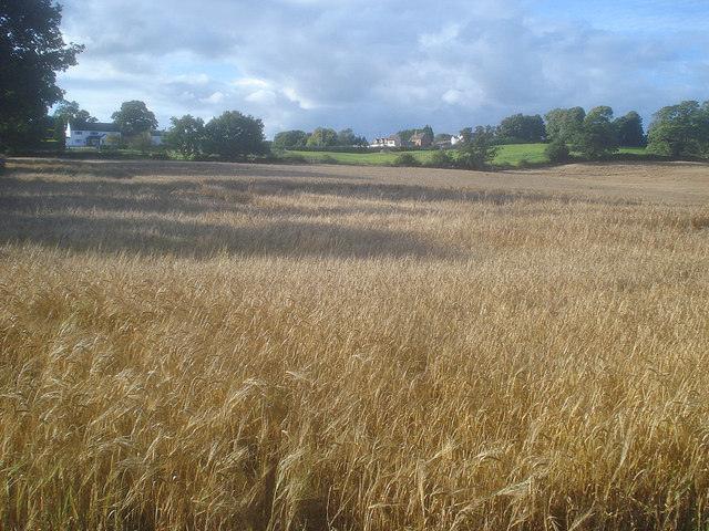
Image: © Trevor Rickard Taken: 29 Aug 2009
View north-west across the large barley field towards houses on the hill at Peggs Green.
Images are licensed for reuse under creativecommons.org/licenses/by-sa/2.0
Image Location
Latitude
52.753413
Longitude
-1.381974