Barker Hill
Introduction
The photograph on this page of Barker Hill by Alan Murray-Rust as part of the Geograph project.
The Geograph project started in 2005 with the aim of publishing, organising and preserving representative images for every square kilometre of Great Britain, Ireland and the Isle of Man.

There are currently over 7.5m images from over 14,400 individuals and you can help contribute to the project by visiting https://www.geograph.org.uk
Barker Hill
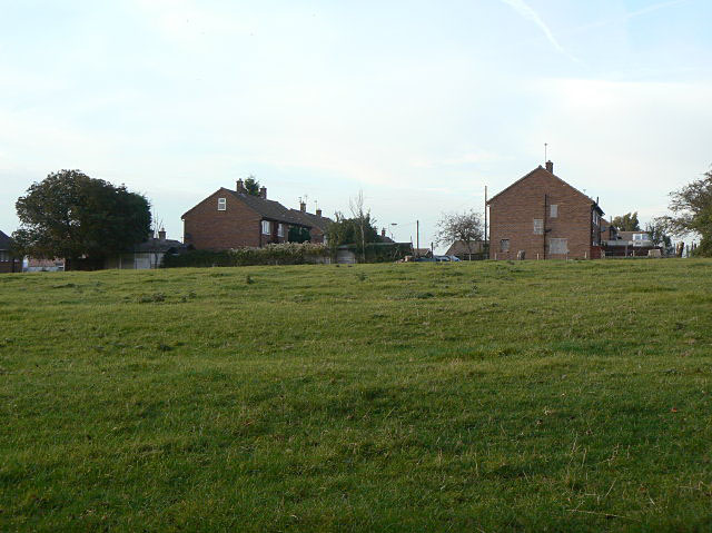
Image: © Alan Murray-Rust Taken: 13 Oct 2009
The housing takes its name from the high ground. This is a council-built estate on the north side of Lowdham.
Images are licensed for reuse under creativecommons.org/licenses/by-sa/2.0
Image Location
Latitude
53.013414
Longitude
-1.001906