Verniew Farm
Introduction
The photograph on this page of Verniew Farm by George Wolfe as part of the Geograph project.
The Geograph project started in 2005 with the aim of publishing, organising and preserving representative images for every square kilometre of Great Britain, Ireland and the Isle of Man.

There are currently over 7.5m images from over 14,400 individuals and you can help contribute to the project by visiting https://www.geograph.org.uk
Verniew Farm
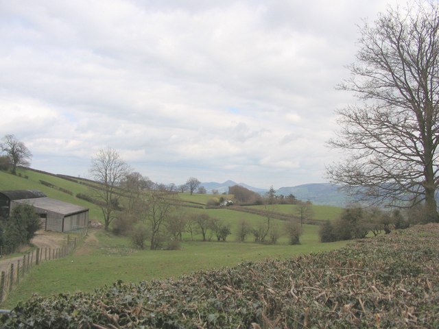
Image: © George Wolfe Taken: 16 Apr 2006
This shows typical Border farmland with the Bridden Hills beyond
Images are licensed for reuse under creativecommons.org/licenses/by-sa/2.0
Image Location
Latitude
52.626926
Longitude
-3.184803