The end of the road?
Introduction
The photograph on this page of The end of the road? by Alan Murray-Rust as part of the Geograph project.
The Geograph project started in 2005 with the aim of publishing, organising and preserving representative images for every square kilometre of Great Britain, Ireland and the Isle of Man.

There are currently over 7.5m images from over 14,400 individuals and you can help contribute to the project by visiting https://www.geograph.org.uk
The end of the road?
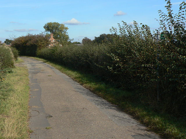
Image: © Alan Murray-Rust Taken: 13 Oct 2009
At this point the road changes from yellow to white on the OS map and is marked as a bridleway. However, repairs to the road surface suggest that it is still maintainable at public expense, and there is no notice to indicate a change of status.
Images are licensed for reuse under creativecommons.org/licenses/by-sa/2.0
Image Location
Latitude
53.030683
Longitude
-0.930528